GIS Mapping


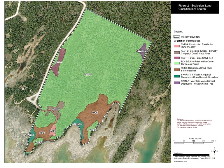
Aster staff are trained in the use of GIS tools and can provide detailed, accurate GIS mapping to support projects for private- and public-sector clients.
GIS (i.e., Geographic Information System) software is used to produce and analyze geospatial data, providing a tool to produce environmental maps and figures. GIS maps can be used to depict vegetation communities, ecological features, or other property features such as trails, roads, building, etc.
GIS is key tool for all aspects of environmental land use planning, including interpretation of development plans, informing Environmental Impact Studies and Natural Heritage Evaluations, and undertaking landscape-scale natural heritage system planning.
