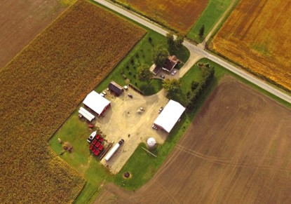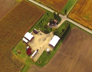
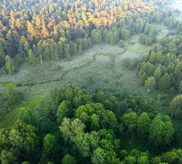
Drone Imagery

While drones are more accessible today than ever, when used by a professional, these tools can be used to significantly enhance the accuracy and quality of environmental site investigations.
Drones allow for a birds-eye view of a study area, providing unique perspective that is used to supplement on-the-ground surveys.
Aster staff implement drone surveys as part of our standard Environmental Impact Study and Natural Heritage Evaluation methodology. Drone images can be included in these reports and provided to our clients upon request.
Drone photography can also be provided as a stand-alone service. Ask us how we can support your project with this technology.